All Articles

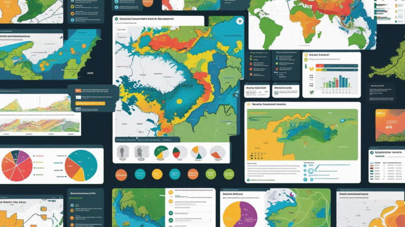
🌍 How to Use GIS Technology for Environmental Impact Assessments

Geographic Information System (GIS) technology is revolutionizing Environmental Impact Assessments (EIAs)by enabling deeper analysis, improved visualization, and smarter decision-making. From tracking biodiversity to assessing pollution risks, GIS allows professionals to protect ecosystems while promoting sustainable development. πŸ—ΊοΈ What Is GIS in Environmental Impact Assessment? GIS is a digital tool used to capture, manage, analyze, and visualize spatial data. In […]

No Comments Read More
All Articles πŸ€– Green Technology, Innovation & AI

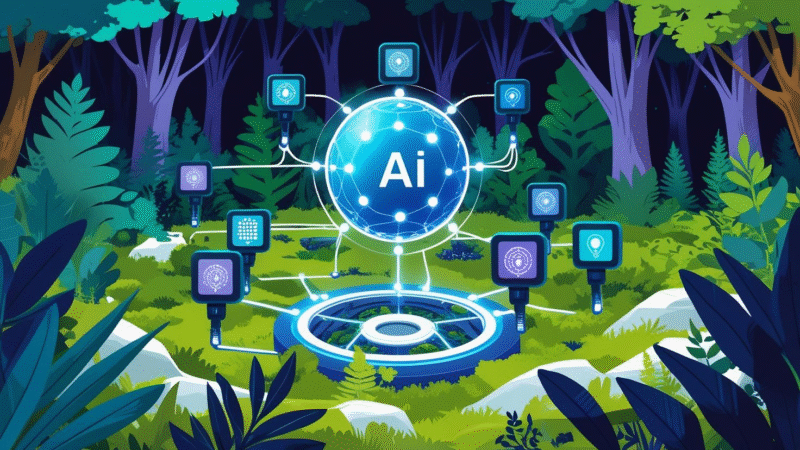
🌍 AI and IoT Integration for Real-Time Environmental Data Collection (2025)

Meta Description: Discover how AI and IoT are transforming environmental monitoring. Learn about real-time air, water, soil, and biodiversity data collection, top use cases, and future trends. πŸš€ Introduction Environmental challenges like climate change, air pollution, deforestation, and biodiversity loss require smarter, faster solutions. Traditional monitoring systems often fall short in delivering real-time, actionable data. Enter Artificial Intelligence (AI) and the Internet of Things […]

No Comments Read More

Sign In

Register

Would you like to receive occasional updates, sustainability tips, and special offers from us. You can unsubscribe at any time.

Reset Password

Please enter your username or email address, you will receive a link to create a new password via email.