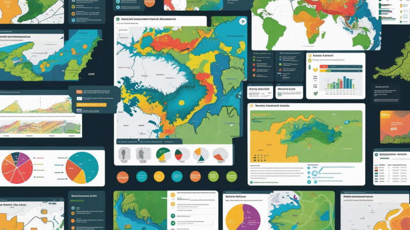
🌍 How to Use GIS Technology for Environmental Impact Assessments
GIS Technology for Environmental Impact Assessments in 2025: Discover how GIS technology is transforming Environmental Impact Assessments in 2025. Learn to analyze spatial data, visualize impacts, and support sustainable decision-making. Geographic Information System (GIS) technology is revolutionizing Environmental Impact Assessments (EIAs)by enabling deeper analysis, improved visualization, and smarter decision-making. From tracking biodiversity to assessing pollution risks, GIS […]

