🌍 How to Use GIS Technology for Environmental Impact Assessments
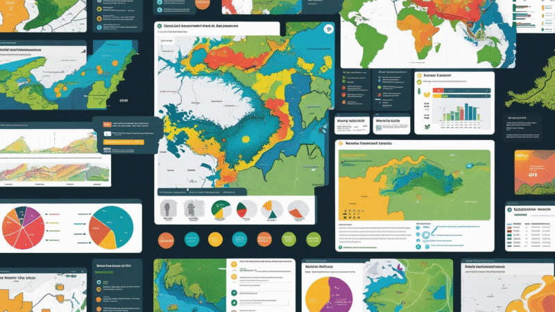
Geographic Information System (GIS) technology is revolutionizing Environmental Impact Assessments (EIAs)by enabling deeper analysis, improved visualization, and smarter decision-making. From tracking biodiversity to assessing pollution risks, GIS allows professionals to protect ecosystems while promoting sustainable development. 🗺️ What Is GIS in Environmental Impact Assessment? GIS is a digital tool used to capture, manage, analyze, and visualize spatial data. In […]